|
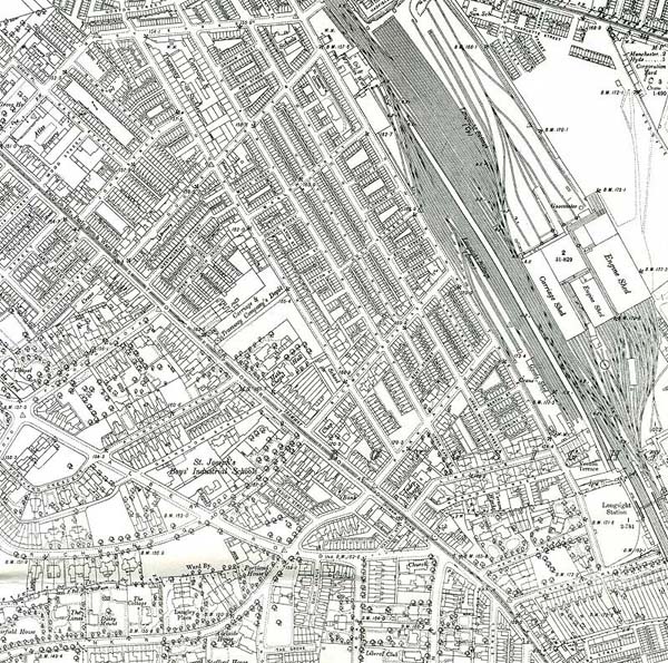
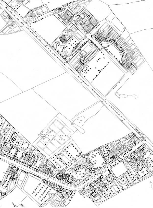
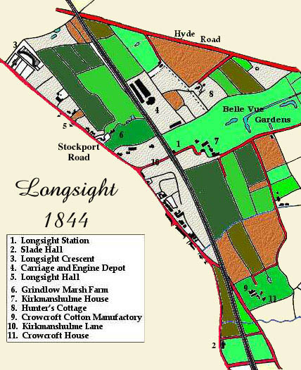
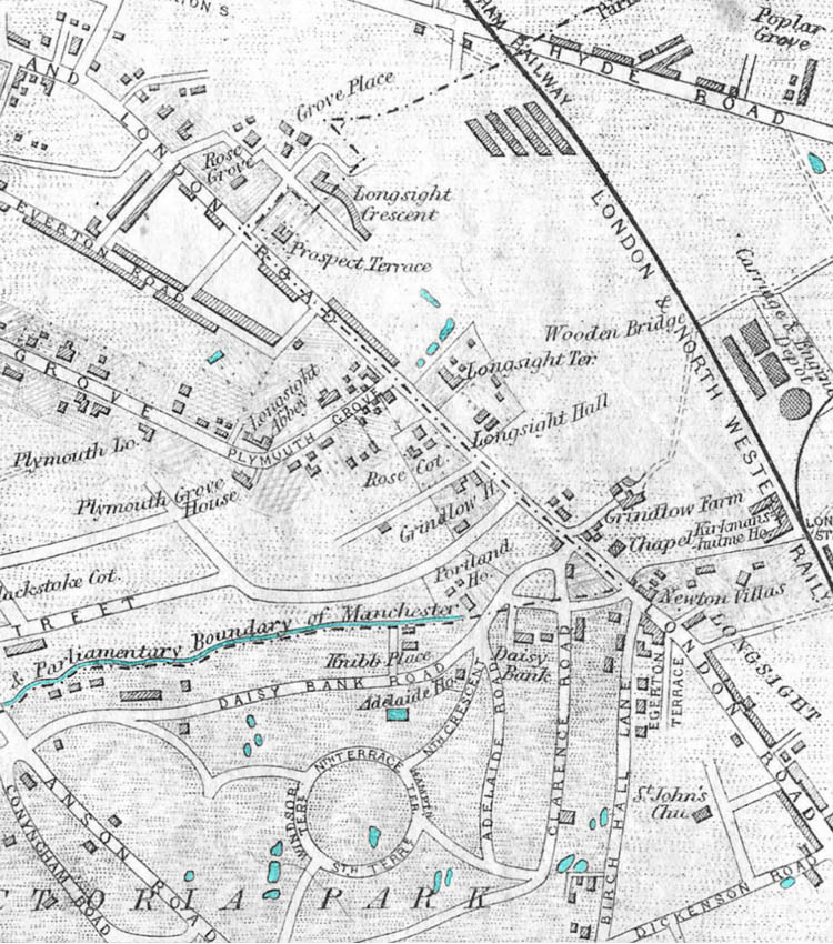
Early History There are differing theories as to the origin of the name Longsight. The more romantic is the story of Bonnie Prince Charlie standing outside of the Wagon and Horses and looking towards the city and declaring it to be "a long sight". The problem with this story is that there are records of the name Longsight being used prior to the Scottish rebels coming over the border. Gay Sussex, author of "Longsight Past and Present", thinks that a more plausible explanation is that over time the field name "Long-shut", (meaning a shallow depression) became corrupted into the name Longsight. Certainly, in the early years the area, now know as Longsight, was simply a collection of hamlets and farms. One of these, Grindlow Marsh Farm (number 6 below), is commemorated today by Grindlow Street, which runs alongside the new Longsight Police Station. In 1844, much of the area shown in the map below was regarded as Gorton, Openshaw and Kirkmanshulme. As you can see, there were few houses in the area.
The
excerpt from the OS map of 1844 - 1849 gives a flavour
of this much more rural Longsight. At the top of
the map you see the junction of Stockport Road and
what became Grey Street. In the 1950s a brewery
sat on the south side of that junction. Notice
that where Plymouth Grove turned towards Stockport
Road there is Longsight Abbey. This became the
convent of the Little Sisters of the Poor and that
asection of the road became Plymouth Grove West.
In later years Plymouth Grove was extended furthe
south meeting Stockport Road near kirkmanshulme
Lane. Across from Longsight Abbey are three
houses which were later replaced by Plymouth Grove
School. The second house on the south side of
Plymouth Grove from the Stockport Road Junction is
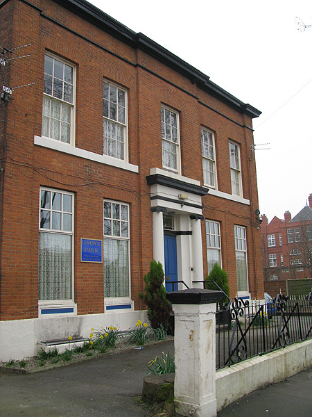
called Richmond House. A small hotel is located
there today - see below the map - it is called
Grove House. Based on its location and
appearance, this may be the Richmond House shown on
the map.
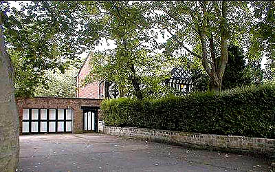
Photograph below donated by Les Cotton. Despite the modern appearance of the driveway and the garage doors, this house has stood on this site for more than 600 years. Prior to the reign of Elizabeth I it belonged to a family who adopted the name Slade. Apparently the term slade referred to a valley and the area around the house was originally called Wilkwall Slade. At the time of Elizabeth I's reign, a family called Siddalls first leased the hall and its estate for £44 and soon after bought it outright for a further £10. It remained in the hands of the Siddal's for over 300 years.
Photograph donated by Les Cotton. In 1903, the Siddalls sold the land and the Hall to the London and North Western Railway. Since the railway had bisected their property and ran close by the house, it was then far from a "des res". John Siddall stayed on in the Hall for a further 8 years on a lease from the railway but in 1911, Dr. C. R. Brown took over the lease and used the building as his surgery. Eventually the railway, faced with increasing maintainence cost sold the Hall and today it is a private residence.
By
1874 things were starting to change. The map
below shows a grid of roads laid out below "Church
Street" later to be Grey Street. 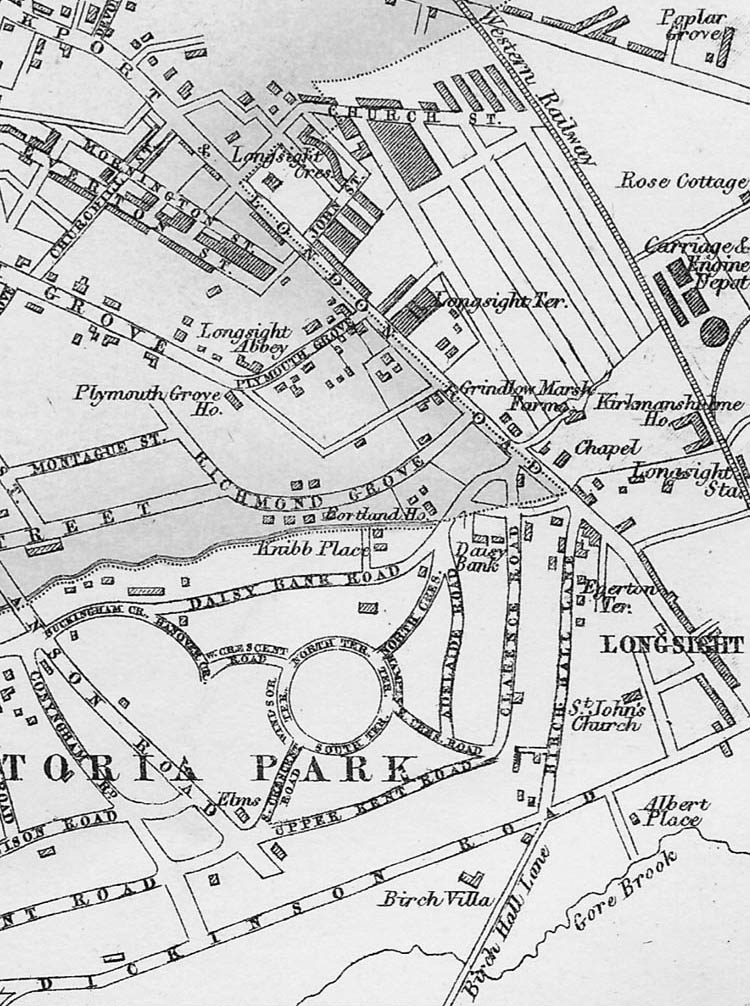 The map above is shown with the permission of Eric Rowland, creator of the Artus Genealogy Resources http://www.artus-fh.co.uk
The vast majority
of these homes were demolished by the early 1970s. Toll Roads Longsight was both defined and bisected by the railway and the roads. Hyde Road runs across its northern flank and Stockport Road cuts through its heart. The expansion of trade made good roads essential. Turnpike trusts were given the power by Parliament to erect toll-gates and collect tolls to assist in the cost of road maintnance (a trend increasing popular today in many parts of the world). Stockport road
was the main route to Buxton via Lancashire Hill at
Stockport. At the junction of Slade Lane and Stockport
Road a small angular toll booth stood well into this
century. From it, toll gates extended to the left
across Stockport Road and to the right across Slade
Lane. Over the years other building were erected
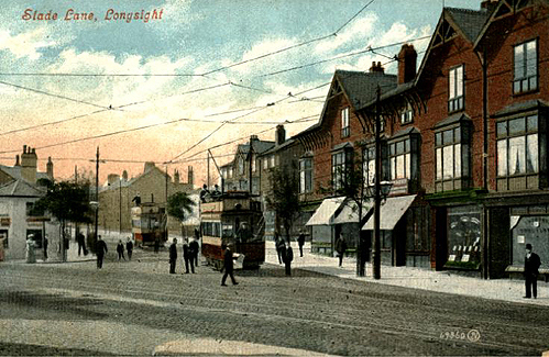
around it. postcard
generously donated by Graham Todd image above
generously donated by Alma Turner In more recent years, the toll booth and its neighbours were demolished and replaced by a park-like area and flower beds. 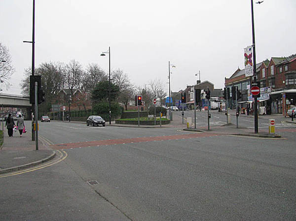 Above
and below, Looking up Slade Lane from Stockport
Road. 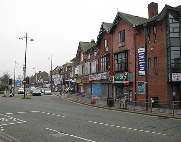
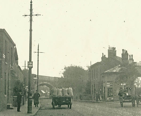
***************** Looking back into Longsight from the Toll Booth Site 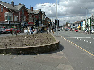 Pictures generously donated by Les Cotton
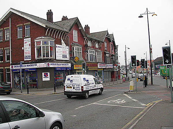
Picture
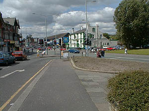
above generously donated by Les Cotton Below that view in
2009  |
 The map above is shown
with the permission of Eric Rowland, creator of the
Artus Genealogy Resources
The map above is shown
with the permission of Eric Rowland, creator of the
Artus Genealogy Resources